Story
![]() July 28, 2022
July 28, 2022
Rising Seas Threaten the Gullah Geechee Culture. Here’s How They’re Fighting Back.
Country:


Descendants of enslaved Africans, known as the Gullah-Geechee, are now some of the most climate...
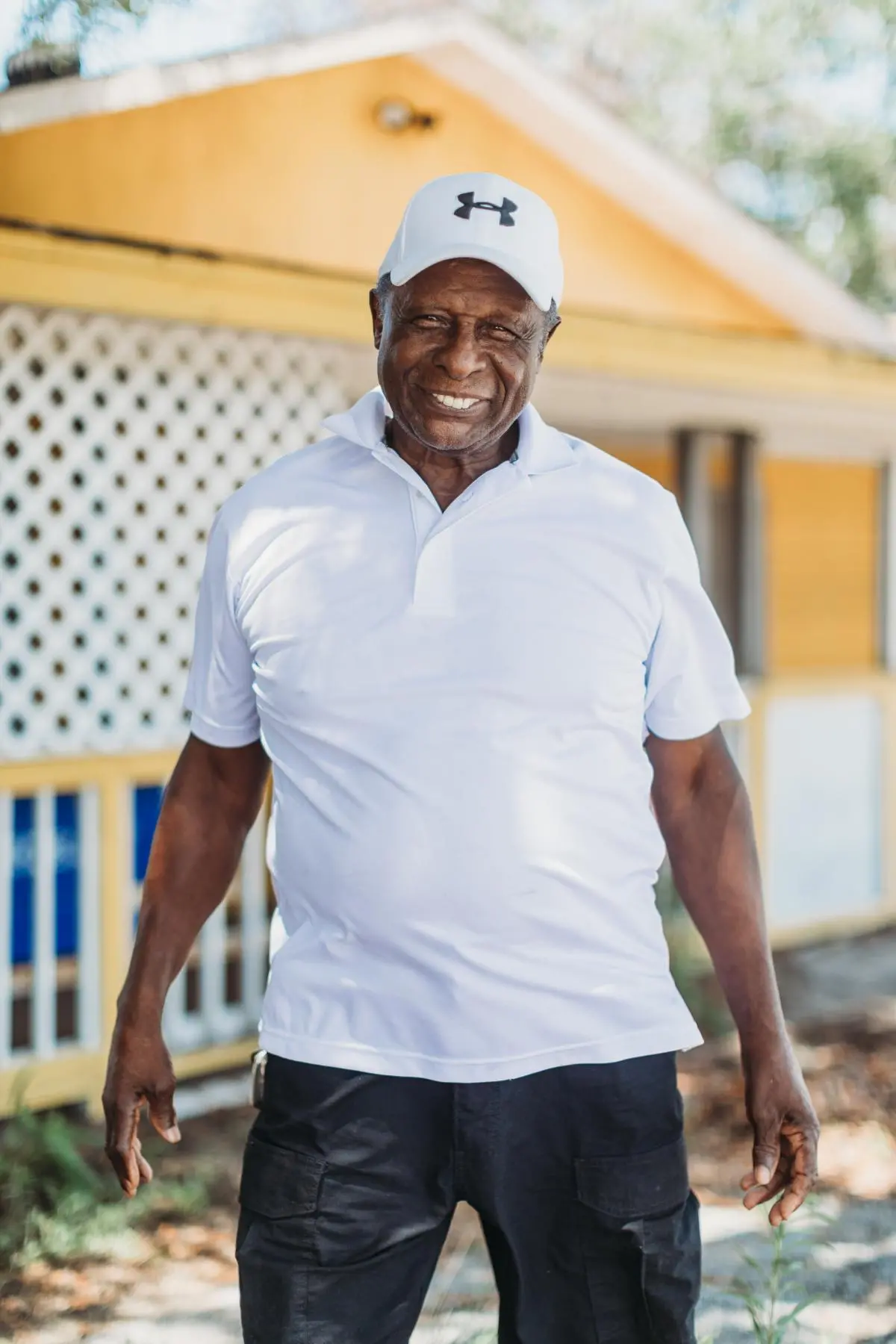
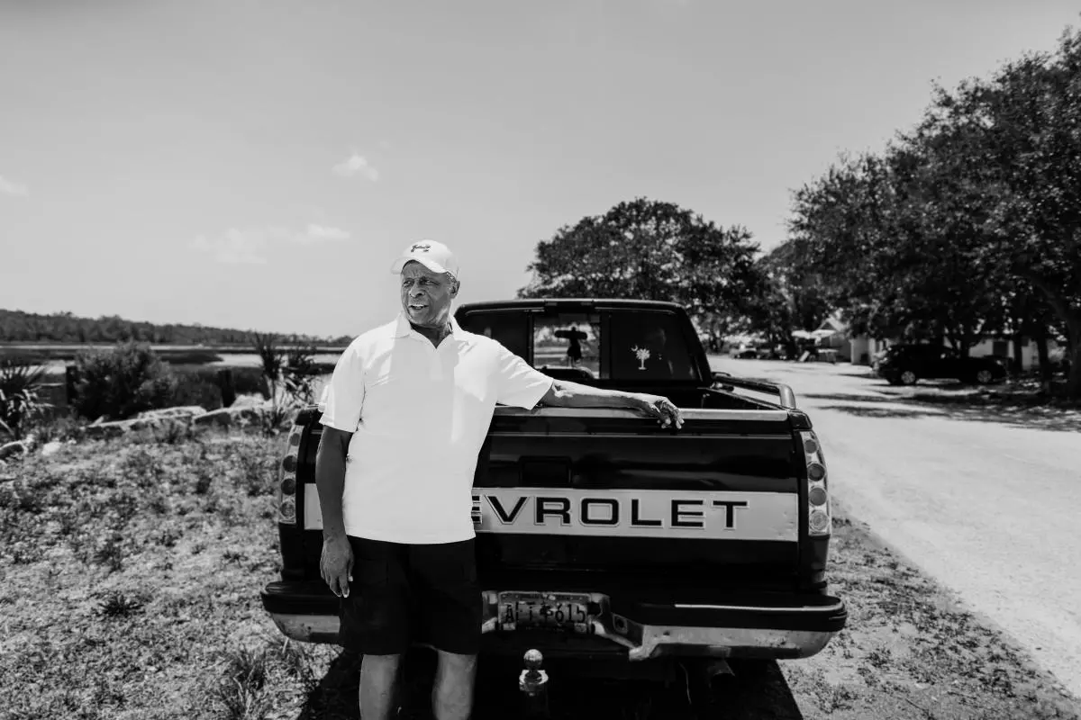
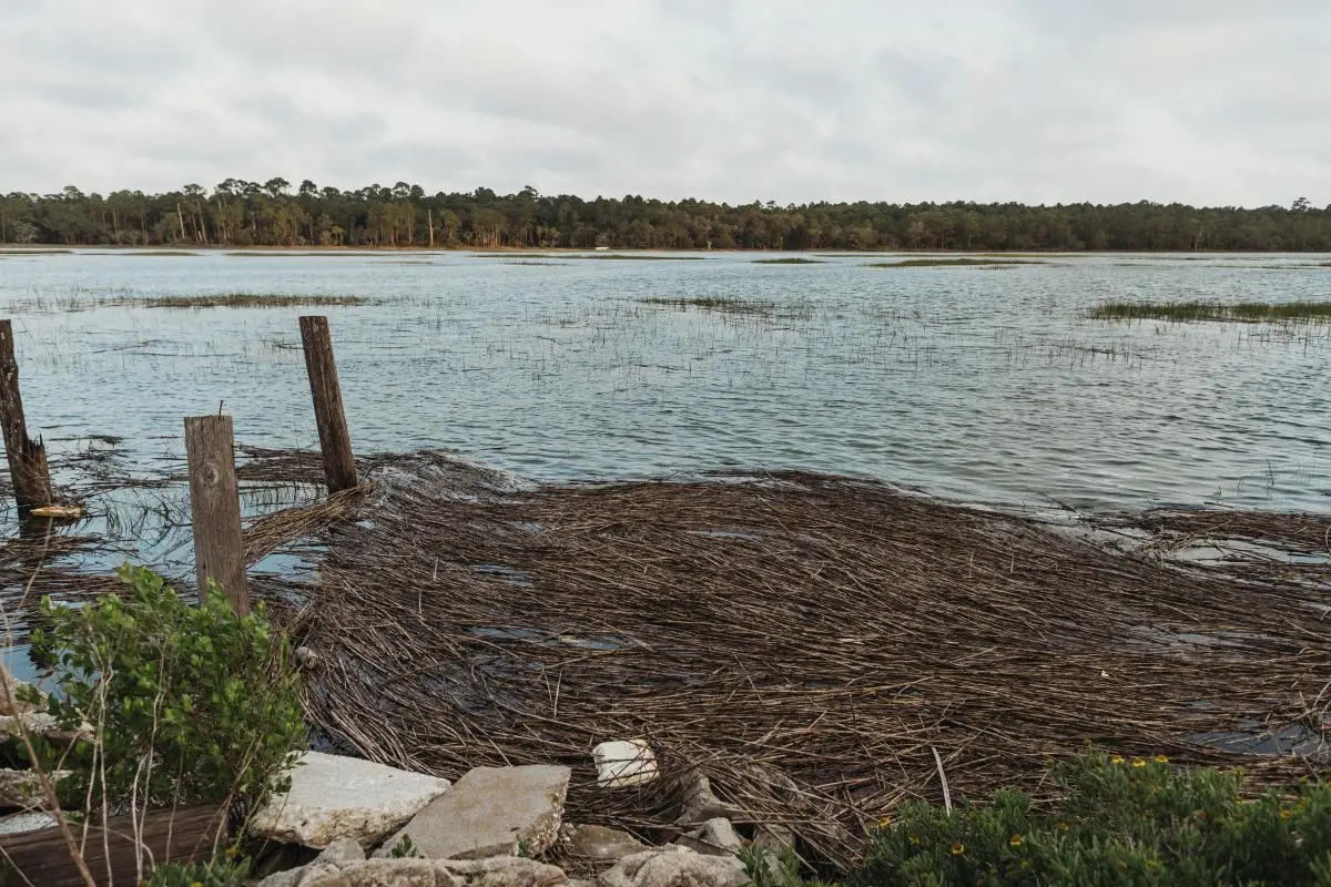
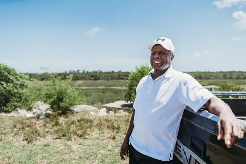
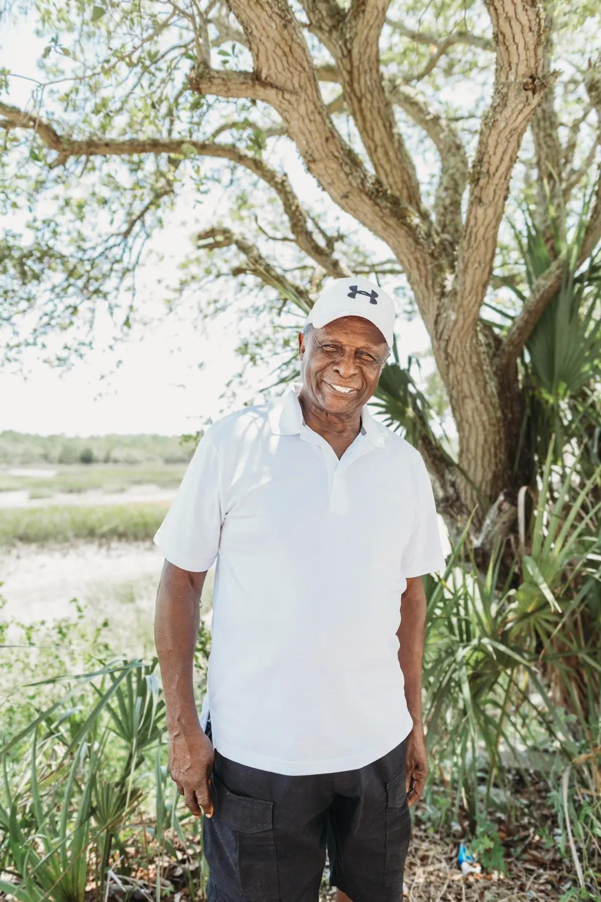
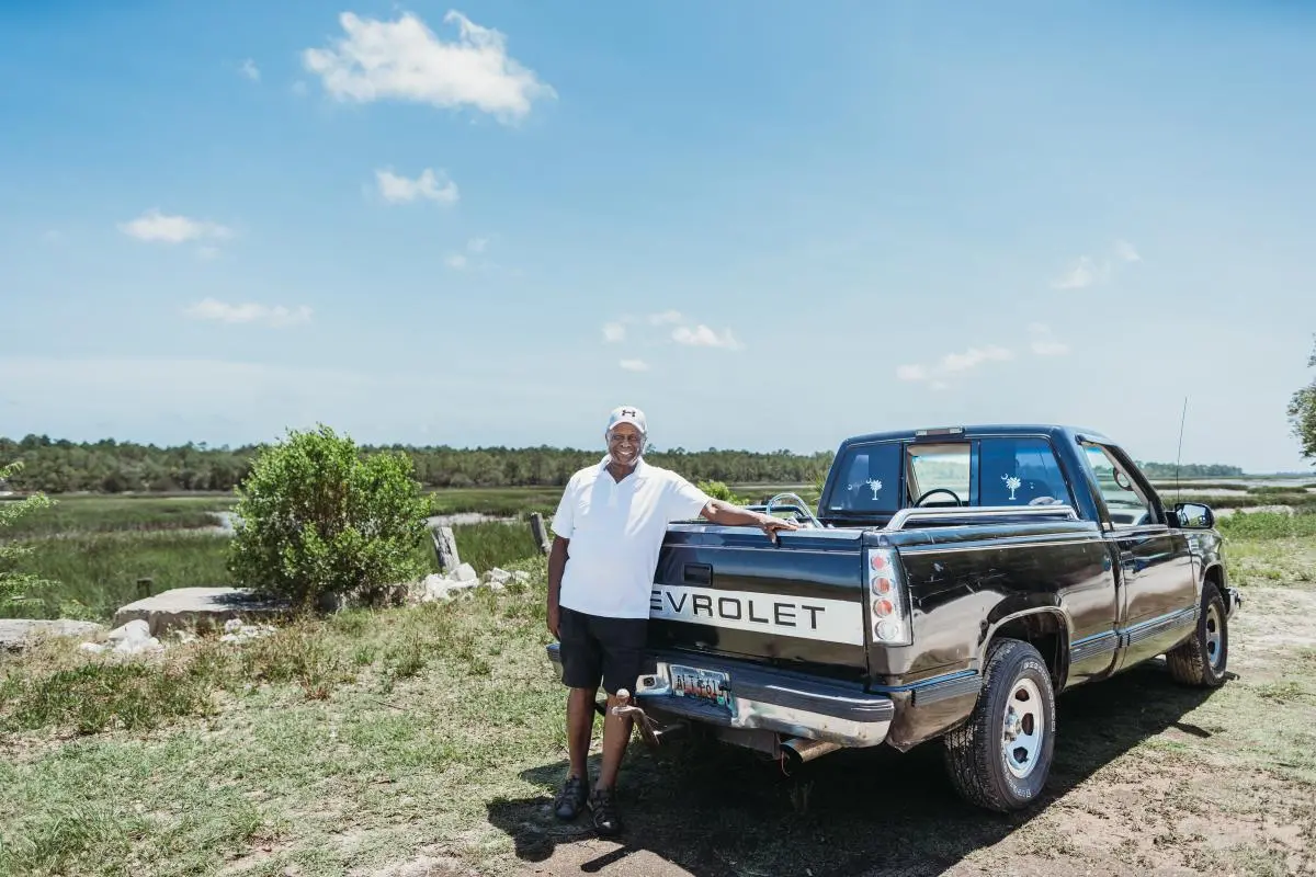
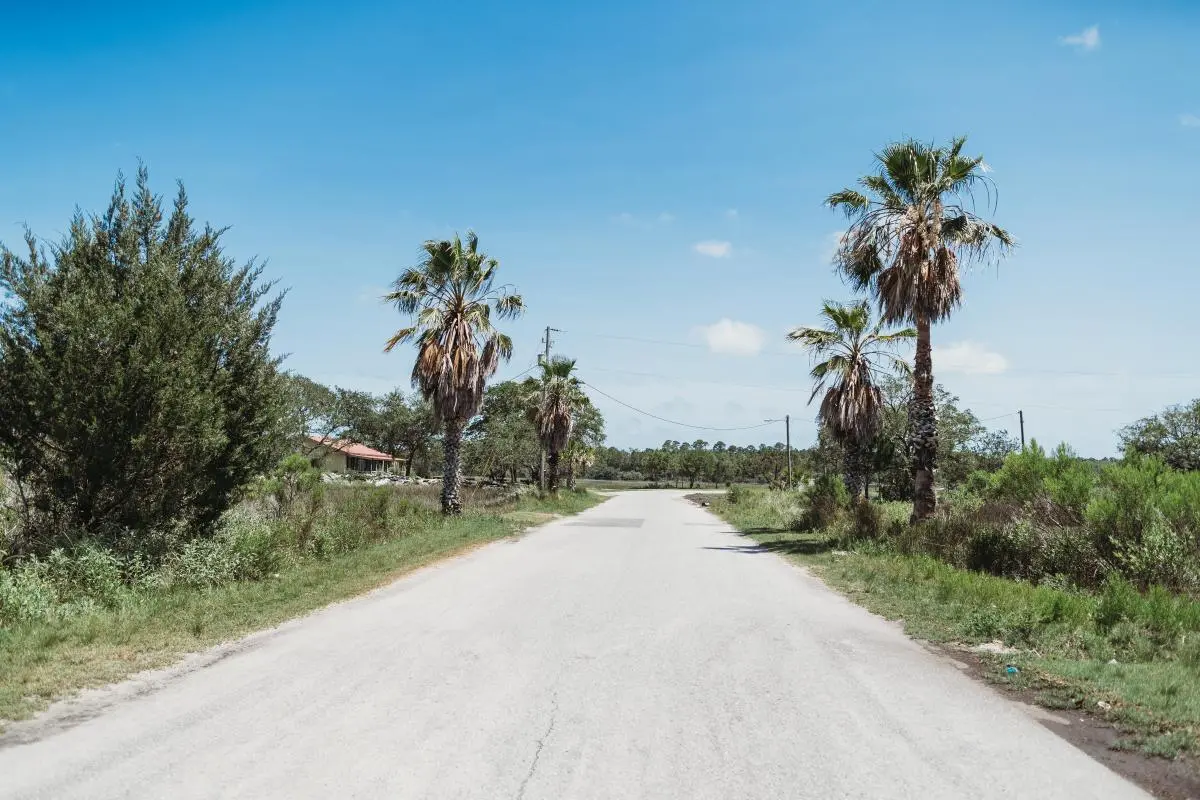
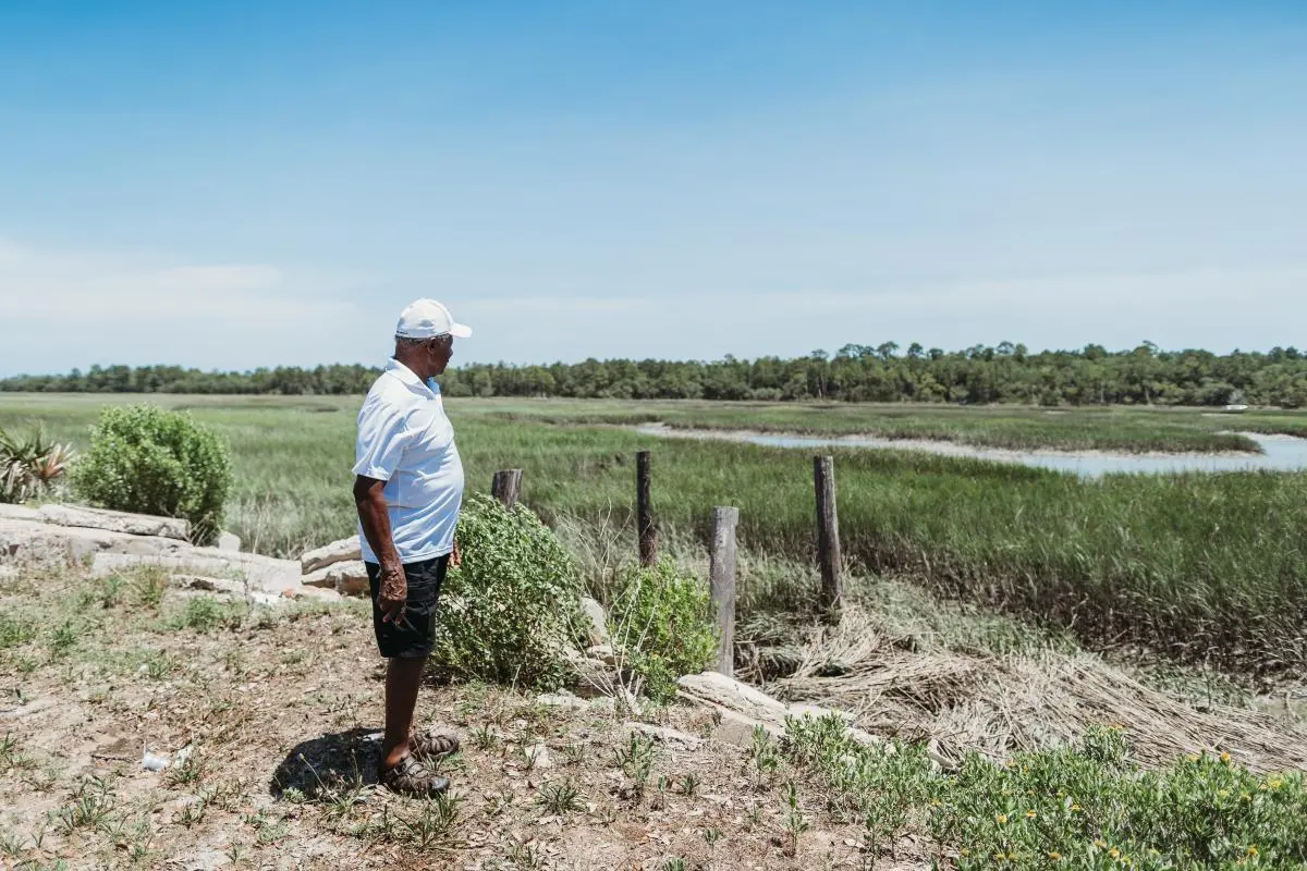
SEA ISLANDS, South Carolina—The sun rises over the salt marshes on James Island, turning the low-hanging clouds a rich orange and deepening the green hue of the grass blades. Bill “Cubby” Wilder, the unofficial mayor of Mosquito Beach, has already arrived. He stands by his pickup on the rocky shoulder of the asphalt road, chatting with several workers tasked with restoring buildings that have clearly seen better days. “I like to get up and get going early,” he says with an easy chuckle.
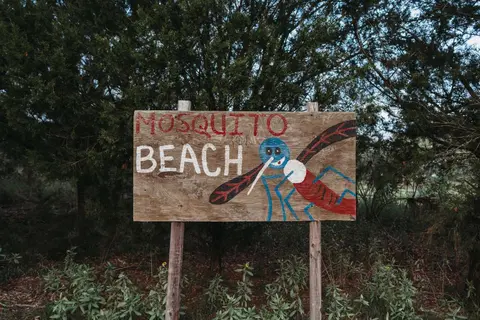
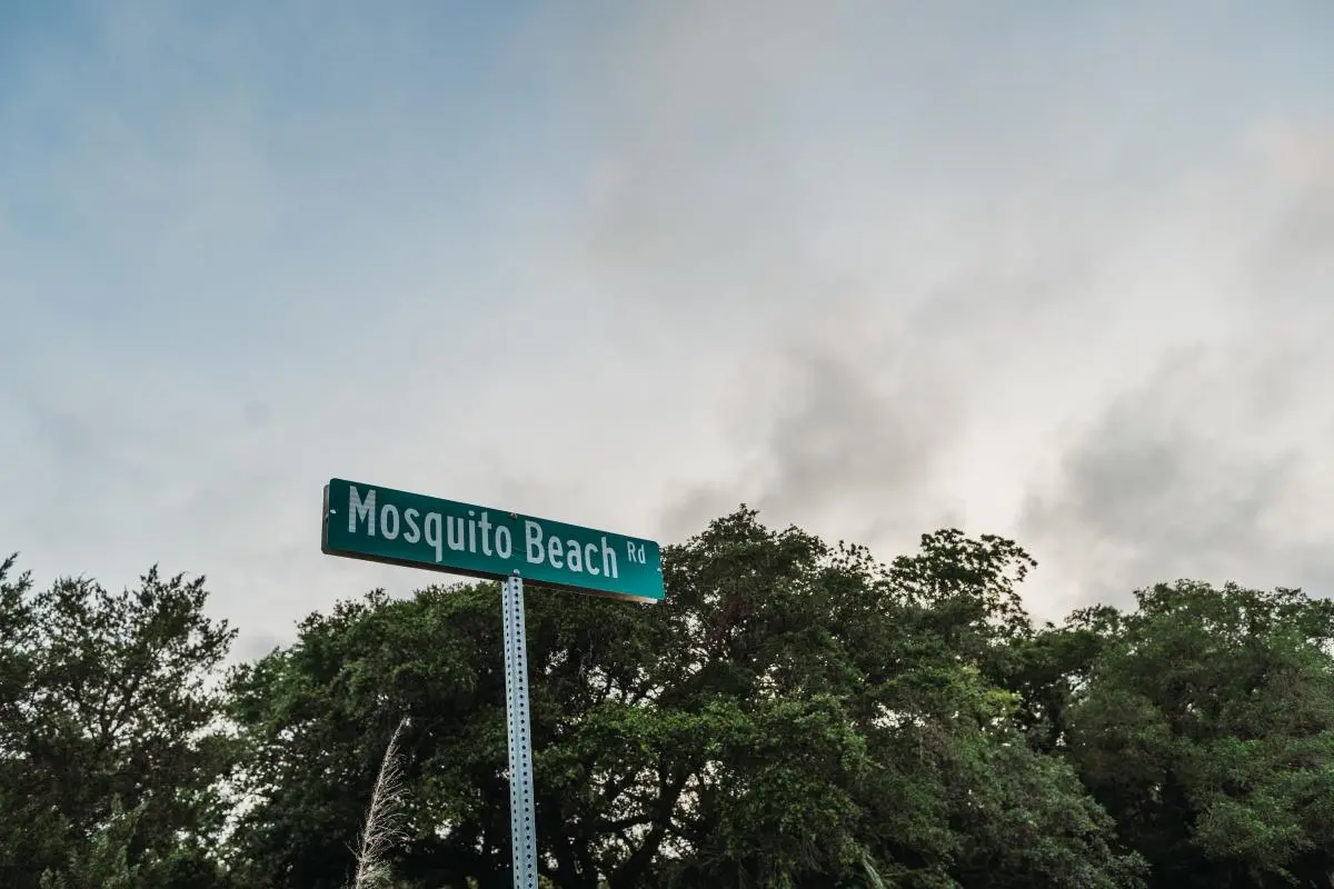
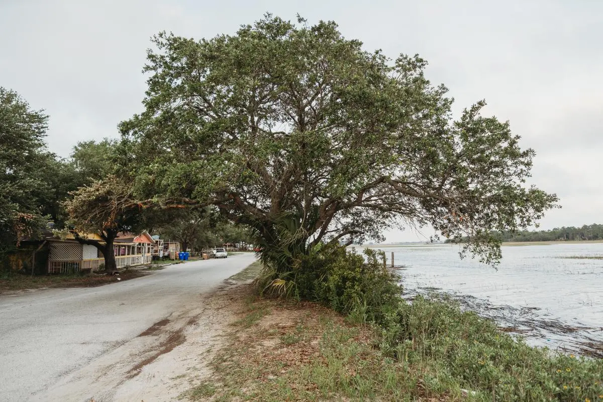
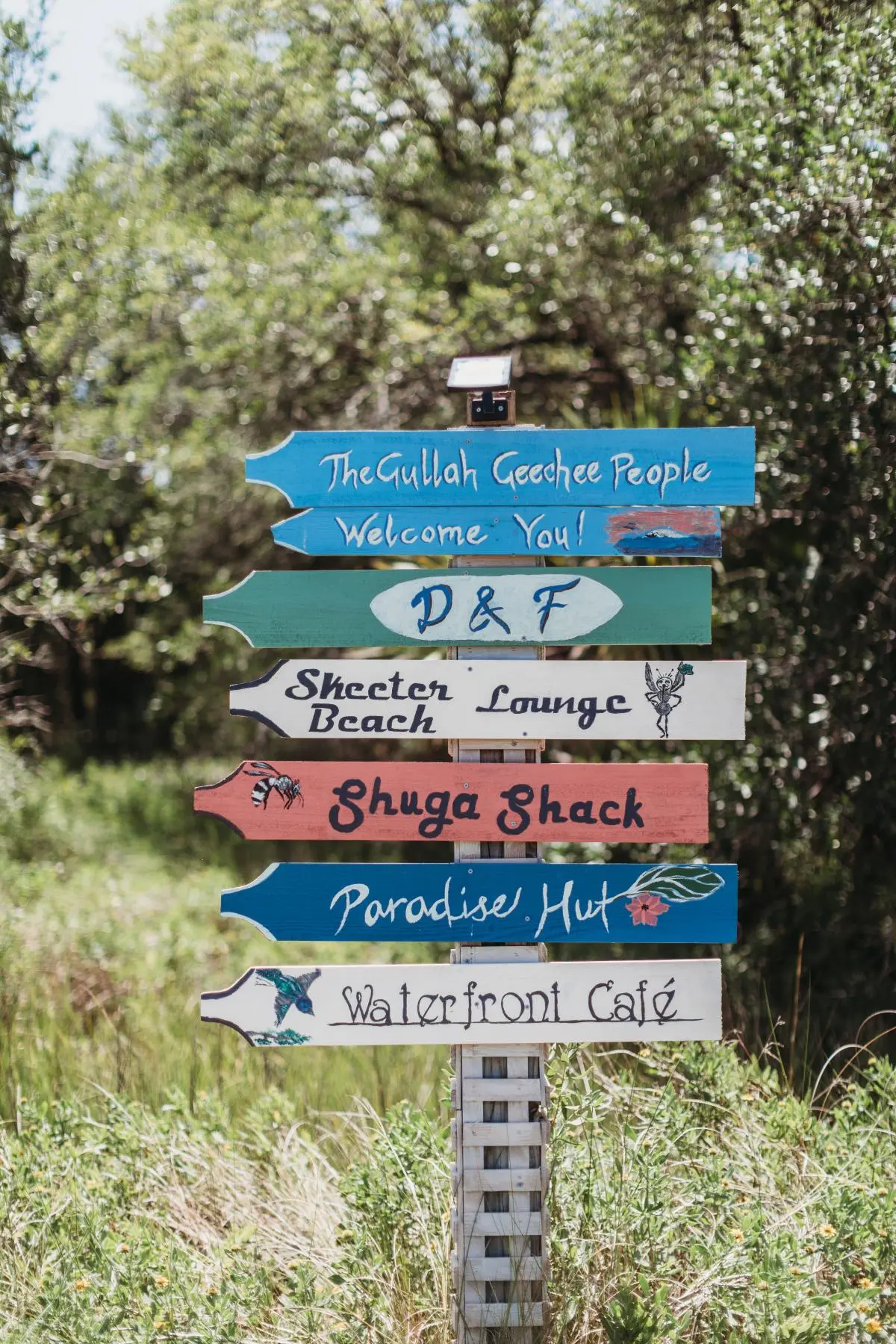
Less than 10 minutes from downtown Charleston, Mosquito Beach juts into the marsh on Sol Legare, the tiny barrier island wedged between James and Folly islands. As he strolls along the marsh’s edge, the 82-year-old retired schoolteacher’s love for the place is evident.

As a nonprofit journalism organization, we depend on your support to fund our nationwide Connected Coastlines climate reporting. Donate any amount today to become a Pulitzer Center Champion and receive exclusive benefits!
He swells with pride as he recounts his family’s role in turning this strip of undeveloped land and dirt paths into one of the most prominent Black beaches of the Jim Crow era. Then, from the mid-1950s to the early 1970s, buses brought hundreds of people from around the Low Country to dance, eat, drink, and see and be seen, Wilder says.
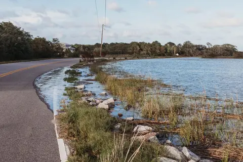
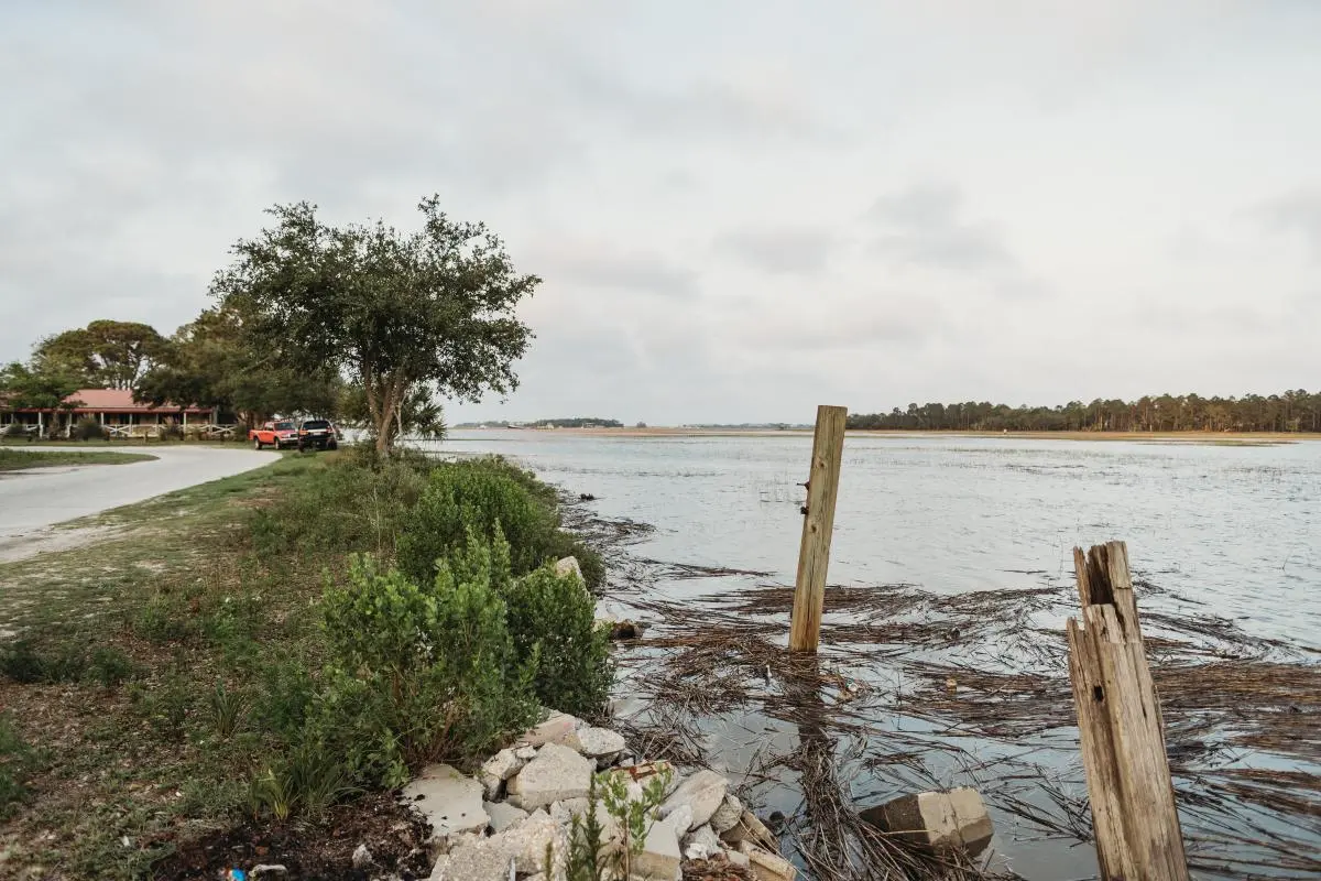
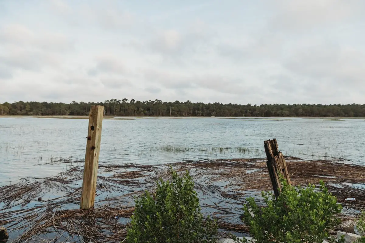
“We would dive off the pier and go swimming and have boat races when the tide was high,” he says. ”We could count on the tides being higher in September and October, but in the last 20 years it’s nothing to see flooding and the tide high every other month.”
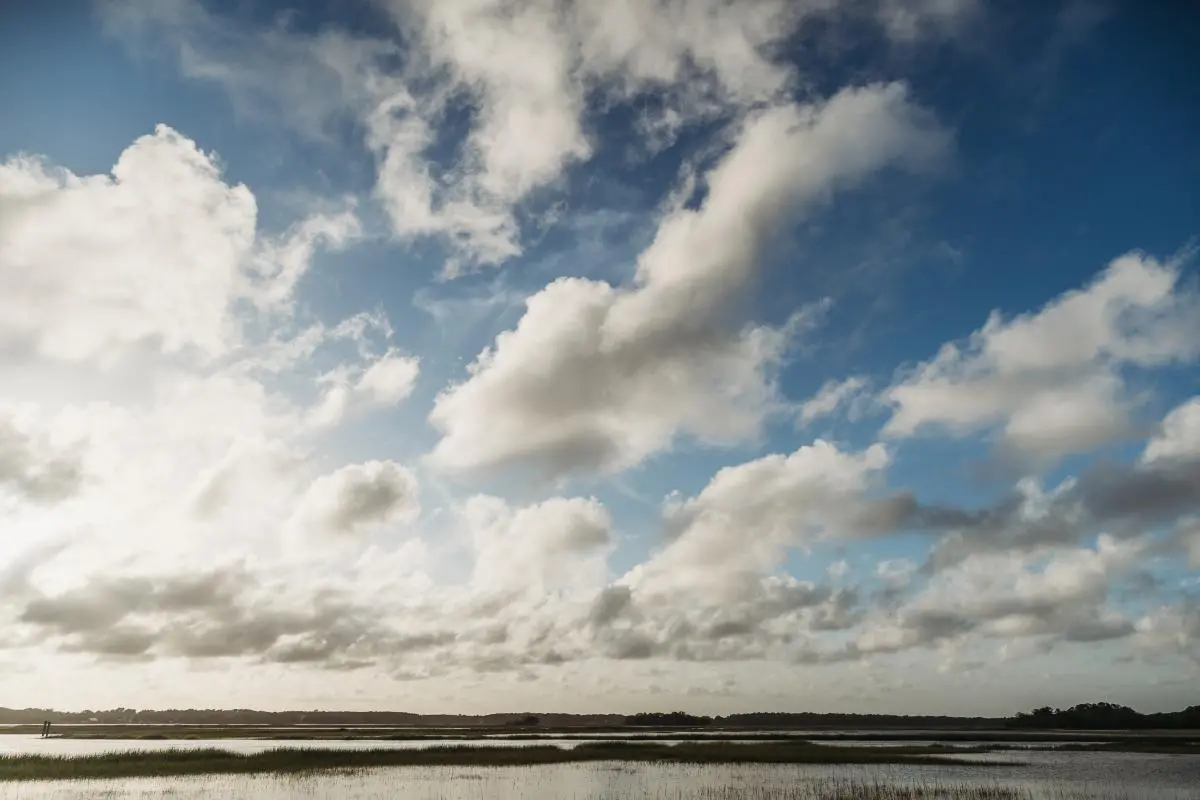
Latitude, topography, and proximity to the Atlantic Ocean make the stretch of coastline from Jacksonville, North Carolina, to Jacksonville, Florida—called the Gullah Geechee Cultural Heritage Corridor— particularly vulnerable to the impacts of climate change, such as sea level rise, storm frequency and intensity, higher temperatures, and a warmer, more acidic ocean.

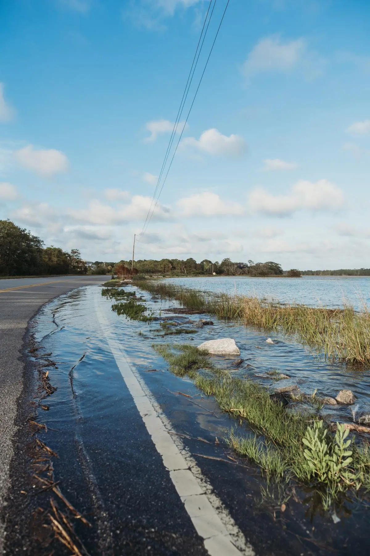
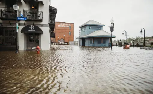
The area was dubbed the Low Country because much of it sits at or below sea level, which has risen 10 inches since 1950 and is currently increasing about one inch every two years. According to a 2019 state report on sea level rise, Charleston floods during high tide at least once a week, compared to once a month in the 1990s. Exacerbating the difficulties are the speed and placement of new homes and businesses. Those data points make the Gullah Geechee people who live here among the most climate-threatened in the world.
“In the course of a single generation we’ve seen unprecedented disruption and unimaginable change,” says Kevin Mills, president and chief executive officer of the South Carolina Aquarium, a coastal research, education, and conservation museum. “What we used to politely call nuisance flooding is now a recurrent threat to commerce, transportation, and public health, and storm surge threatens historic neighborhoods.”
That realization has sparked collaboration among scientists, environmental groups, government agencies, NGOs, and community members like Wilder to look for ways to shore up and protect the coastline. Efforts are underway to repopulate oyster reefs, which dissipate wave strength and prevent erosion, and to preserve the salt marsh for its ability to help mitigate climate change by storing carbon, absorbing tremendous amounts of rainwater, and maintaining the coastline through soil storage.
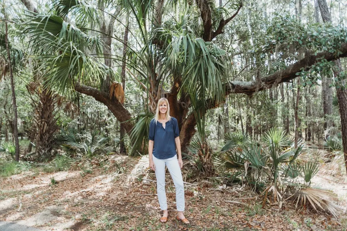
Lora Clarke, a marine and atmospheric scientist with the Pew Charitable Trust, has noticed changes in the flood patterns just in the eight years she’s lived on James Island. “I can see it in my own neighborhood,” says Clarke. “During the extreme high tides, the tidal water comes up into my neighbors’ yards.”
Clarke oversees the South Atlantic Salt Marsh Initiative to conserve about one million acres of marsh along the coast. “The marsh will naturally move and grow inland, provided there is nothing blocking it,” she says. “We have to … think about how we're building or modifying roads and bridges, to make sure we don't block that natural tidal flow.”
It may be too late, however. Since the mid-1990s new construction has taken place within a half-mile of the marsh. That contributes to the U.S. EPA assessment that the wetlands are being lost at twice the rate they are being restored, since development impedes the marsh’s ability to move inland. If it can’t expand, it dies.
A people and its history
The vast majority of the people in historic communities throughout the Low Country are descendants of West Africans who were enslaved in the South Atlantic region more than 400 years ago. Their expertise in cultivating rice, cotton, and indigo underpinned some of the wealthiest plantations in the South. At the end of the Civil War, rich landowners fled the area, leaving behind thousands of newly emancipated people. Wilder’s ancestors were among the Black farmers who bought small plots of land and transformed the former island plantation into a freedmen settlement.
Isolated from the mainland for much of the next century, they maintained African traditions, culture, and religion, and continue to identify themselves as direct descendants of West Africans. The Gullah Geechee language, still spoken by many in or from the corridor, is an English-based Creole known as Gullah in the Carolinas and Geechee in Georgia and Florida.
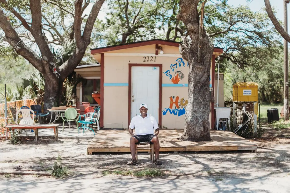
Mosquito Beach was farmland with no roads when Wilder’s uncle, Andrew “Apple” Wilder, built the large, wooden open-air pavilion and boardwalk in 1953. The area soon boasted a 14-room hotel along with several eateries, dance clubs, and bars.
The first pavilion was destroyed by Hurricane Gracie in 1959. Thirty years later, Hurricane Hugo took out its replacement, leaving the wooden pilings as the only reminder of its existence. When Charleston County officials sought to demolish the long-abandoned buildings, Wilder successfully petitioned to have Mosquito Beach placed on the Registry of Historic Places, saving the wood frame buildings from the wrecking ball. The structures still stand, but how can he save Mosquito Beach and its history from the twin threats of development and climate change?
Four decades ago, the Charleston peninsula was two-thirds Black, but those numbers have reversed, and then some. Today more than 70 percent of the population is white, according to 2020 census data, and it’s growing three times faster than the national average, as more and more well-to-do white people build homes there. Skyrocketing real estate prices have pushed much of the island’s historically Black population out.
“When I was growing up, you hardly ever saw a white person in this area,” says Wilder. “Now the white people outnumber the Blacks.”
A zoning change implemented after 1989’s Hurricane Hugo to protect properties made it more difficult for the original community to stay put in the face of the advancing waters. “In most of the Black areas you have to elevate the foundation of your home at least 15 feet,” he says, in order to avoid increasingly higher tides. That “puts a real bad handicap on our community because that would cost 20 to 30 thousand dollars.”
Because most of the legacy real estate is jointly owned by sometimes dozens of descendants, occupants can’t easily sell the property or borrow the money to improve and raise their homes above the flood line on pilings, as new dwellings are constructed.
Christopher Richardson grew up on James Island and, after more than 20 years away, moved back to Charleston in 2018 to a place that wasn’t just paler, but more congested and more imperiled than when he left.
“It is a very odd combination when you're adding more people while the land is vanishing,” says Richardson. “Black folk first got this property because white folks didn't want it. Now, they’re like ‘oh, we were just kidding,’ because they want it back.”
A planned displacement
Throughout history, people of color in low-wealth communities have been displaced in the name of progress or the greater good. Urban communities were demolished to make way for interstate highways and/or razed to mitigate urban blight. Now, managed retreat, the purposeful, coordinated movement of people and assets out of harm’s way, is mentioned with increasing frequency as the solution for the Gullah Geechee losing their island homeland to climate change-induced sea level rise.
“Planned retreat is a loaded term because vulnerable communities of color don’t have the same agency in planning as others in more wealthy neighborhoods,” says Mills.
Whether it’s called managed retreat, strategic relocation, or climate migration, the process comes with a lot of legal, logistical, and financial baggage. It is particularly hard for many Gullah Geechee to accept when poor Black people are told to go while wealthy white people are still coming.

At the crux of the matter is how to move people away from places of risk without stripping them of their identity, culture, and equity. So much of what it means to be Gullah Geechee is rooted in place; many say that asking them to separate from their ancestral land disregards centuries of attachments.
“The heritage and the land is so important to so many people like my great-grandfather who, even before they farmed that land, fished and hunted there,” says Richardson. “That's something I’m still connected to. It’s really sad to see it all just vanish.”
The scenario on James Island is happening through most of the Gullah Geechee corridor. Other islands like Amelia, St. Simons, Kiawah, Tybee, and Sullivan’s have become upscale vacation destinations. Hilton Head represents the most radical transformation. After the bridge to the mainland was built in 1956, the island went from a remote enclave with a majority Black population to the “Hamptons of the South,” complete with gated communities, shopping centers, and golf courses. Once the majority, Black people now account for just 6 percent of the population.
A different scenario
The modern-day conflict over development is playing out a bit differently two hours south of Charleston on St. Helena Island. There, the zoning laws prohibit the types and locations of development that put infrastructure and buildings too near the wetlands or oceanfront that exacerbate climate change impacts, such as flooding. For example, the island has no hotels, resorts, chain restaurants, or other establishments that attract and accommodate tourists.
“It is the only zoning law I’ve found in the world that focuses on the protection and the continuation of a culture or group,” says Marquetta L. Goodwine, aka Queen Quet. “That’s why St. Helena doesn't look like Hilton Head and doesn't get the impacts of flooding like Hilton Head.”
Goodwine has gained worldwide recognition in her self-appointed role as chieftess and head of state of the Gullah Geechee Nation she established in 2000. [This is a group she founded and runs, different from the Gullah Geechee corridor.]
Finding hope in natural solutions
Anti-erosion and anti-flood infrastructure tends to be gray—bulkheads, seawalls, revetments. But South Carolina Nature Conservancy’s Dale Threatt-Taylor says that it can and often should be green.
“It has been proven time and again that nature usually has a better solution, and if we mimic nature, then we tend to have something that’s lasting and less invasive,” says Threatt-Taylor. “Our focus is on how we can put in living shorelines or use topography and GIS data to figure out what water really should go where or how to restore those wetlands so that they take up the extra floodwaters.”
Many of the area’s environmental groups and advocates have undertaken a variety of different living shoreline projects like reducing marsh loss and rebuilding oyster populations. Marshes are essential for biodiversity; they serve as sea life nurseries for 75 percent of commercial and recreational fish species. Participants in the South Atlantic Salt Marsh Initiative recently began writing the conservation plan and anticipate putting out a draft later this year.
“The many benefits of salt marsh helped to bring together all these different groups into a really strong partnership to protect it,” says Clarke. “Since we officially launched in May of 2021, we've built a coalition of almost 200 partners that are all interested in protecting the salt marsh.”
Throughout the corridor, people understand the essential role oyster reefs play in the ecosystem. They filter water, provide habitat and refuge for fish and crustaceans, and act as coastal storm protection. The entire coastal ecosystem used to be filled with oyster reefs, but the vanishing wetlands, pollution, and increasing water temperatures make the sensitive bivalves harder to come by these days. During the spring and fall, volunteers help line the coast with hard surfaces like rocks and reused oyster shells to give oyster larvae something to attach to and grow on. Ultimately, the reefs will act as hard, natural barriers to protect shorelines from erosion, rising tides, and increasingly severe storms.
Those types of measures keep people like Goodwine and Wilder optimistic that the tide of development is turning to one of preservation. “We have more resources and people in place that will say, ‘We're going to help.’ People are finally listening to us. The country is realizing that those St. Helena Island natives were right!” says Goodwine with a laugh.
As Wilder devotes much of his time to preserving the land and history of Mosquito Beach, he often wonders what he’s trying to save and for whom. Many of the younger generation show little interest in staying in a place where there seems to be nothing for them and, in fact, is disappearing beneath the waters.
“The young people don't value the land like we do,” says Wilder. “Right now there are three vacant homes on the Wilder property. When the elders pass, they move away and they’re not looking to come back here to settle.”